
GIS Skills Improve Management of Mineral Resources in Kenya
(By Kristina Gubic)
Al Gore could not have imagined that his vision of a ‘Digital Earth’ could be realized in just over a decade. The concept proposed in 1998 - where a virtual representation of the world could exist to provide humanity with an integrated knowledge bank of geospatial data - is already being realized through technology such as the Geospatial Information Systems (GIS).
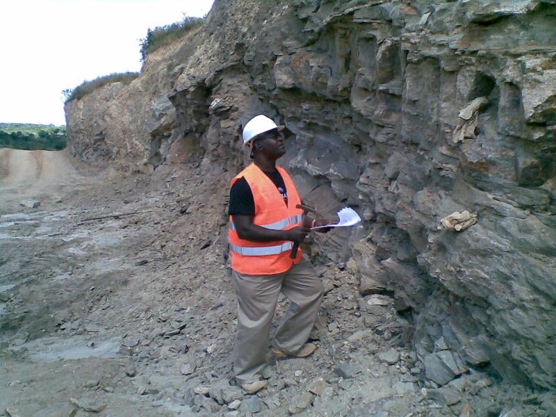
Martin Nyakinye, who serves as Chief Superintending Geologist at Kenya’s Ministry of Mining, believes the subject of GIS to be the language of the future. In 2010, he was awarded an Australian Government-funded Fellowship that provided him with Geospatial Information Systems training at NGIS in Australia.
Since returning to his homeland of Kenya, he has spent the last three years strengthening the technical capacity of the mining sector with more efficient and transparent results.
While geospatial data is used to map a variety of features from natural landscapes, land use patterns, political boundaries and community infrastructure, its relevance for Martin came as an opportunity to improve the decision making process for exploration and mining rights. Despite a vibrant mining sector, Kenya is still largely dependent on a manual system for license allocation that relies on a mining regulation which was enacted in 1940. Not only has this system, still reliant on hard copy maps, proved time-consuming and subject to errors, but it has also been prone to manipulation.
The intensive two-month GIS training program included exposure to the most widely used software platforms as well as a practical stint at the Geological Survey of Western Australia. The skills and knowledge gained allowed Martin to successfully develop a pilot GIS Database for the Nyanza Province, which borders Lake Victoria.
By mapping all current, dormant and pending mining concessions, the data allows prospective investors to make real-time decisions regarding potential investments and for mining authorities to become aware of potential boundary conflicts.
Since Kenya’s economy is shaped by diverse land use practices that span agriculture, tourism as well as mining, the value of having an integrated view of these activities is vital to achieving the sustainable utilization of natural resources as outlined in the seventh Millennium Development Goal. “Not only can GIS help us better manage our environment, but it will strengthen the transparency and governance of a sector that is notoriously fraught with corruption,” explains Martin.
Already the benefits of the Nyanza GIS Pilot are visible with real potential to be scaled and applied to other regions and sectors in Kenya. Martin now has the opportunity to see his own vision come to reality where the data gathered in his province could ultimately feed into a national Mineral Cadastre System and be accessible to mining stakeholders across the globe.